Tuesday, 29 January 2008

Ramsgate and Historical Thanet


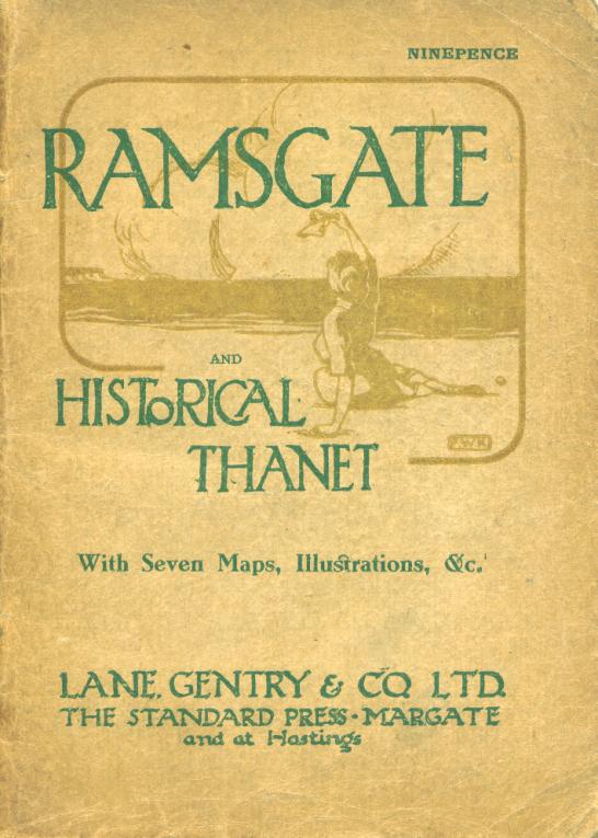
I have just published another reprint of a local guide, it’s undated but appears to be about 1920 most interestingly to me are the street maps within for Ramsgate, Broadstairs, Margate, Westgate, Birchington and Minster.

As this is pre the unification of the railways you can see the ways the two competing companies managed to reach both of the main towns.

The first railway to get to Thanet was the Southeastern and Chatham Railway the first station to open was in Ramsgate in 1846 as you see from the map it was at the top of the High Street, the present station, at the other end of Station Approach Road replaced it in 1924. Sometime after that (forgotten the date) the line was extended on to Margate.

Then came the London Chatham and Dover Railway via Margate that terminated at Ramsgate Sands Station that opened in 1863 and closed in 1926.

Now of course the two lines are connected together in a loop.

Click on the links below to look at to the information mentioned in this post.

Ramsgate and Historical Thanet

The early 1920s maps

The Underground

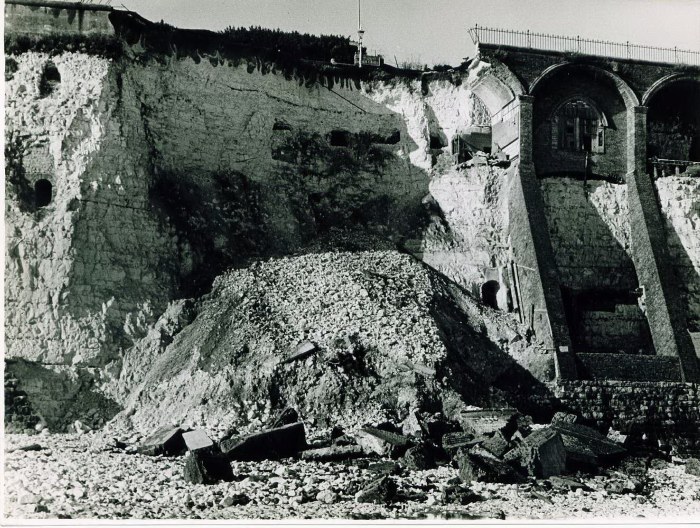
I managed to get a bit more information on the caves attached to Pugin’s house that collapsed spectacularly in the 1940s, I was discussing the cliff repair works behind the Pleasurama site with Paul Wells who came into the shop yesterday. Paul is very much involved with the Kent Underground Research Group. One of our concerns about the site is that there is what appears to be a very large cave under Wellington Crescent shown on some old maps.

One of these maps was drawn by Brimmel the borough surveyor who was not a person to mistaken about something like the existence of a cave, it has been my contention for some time that as the various surveys of this area show the chalk to be in poor condition this cave should be investigated and if necessary made safe.

Anyway Paul said that he had managed to obtain the Bimmel’s drawings for the repairs to the collapse of Pugin’s caves, so I asked him to photograph them and publish them on web so we can have a look at them.

Paul Wells is also the historian who produces the Dover Past website http://www.doverpast.co.uk/ and has an interest in underground caves as you can see from http://www.flickr.com/people/doverpast/

Click on the links below to look at the pictures of the various things I have mentioned in this post.

Radar ground survey of Wellington Crescent

Report on the state of the cliff façade of Wellington Crescent

Pictures of the collapse of Pugin’s caves

Bimmel’s drawings for the repairs

Dover Past website

Paul Wells’s other pictures

Kent Underground Research Group

Saturday, 26 January 2008

Every picture tells a story


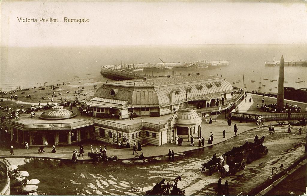
I have just put a few more old pictures of Ramsgate up on the web for your amusement click here to look at the rest of them. I have been fairly busy with my continued research into flooding in Ramsgate as you can see from the picture.

Thursday, 24 January 2008

Beethoven symphony no 5


this just came up when I was testing the network connection to the pc in the workshop and I thought it was rather good.

Sunday, 20 January 2008

Fallen arches


I am becoming increasingly concerned about the safety of our cliffs, having discovered that the cliff behind the Pleasurama site was considered to be dangerous, looking around we have several cliff supports that look to be much more dangerous. The one photographed above has got into this state because of a planning dispute between the council and the site owner, as far as I can ascertain.

Ironically TDC appear to have refused planning consent because the development could be viewed from the conservation area above, I say ironically because they seem to be behind the Pleasurama application further along.

If you click here you can see just what a mess this site has become and if you click here you can see what happens when the cliff collapses.

The site itself is just one of many where the safety fencing is broken meaning that children can get into this dangerous area.

Wednesday, 16 January 2008


Well its time for an update on the Pleasurama situation I expect some of you are aware that work has started on the cliff face, so I have been down there and taken a few photos and chatted with a few of the chaps in hard hats.

I have been assured that the huge scaffolding will be bolted to the cliff façade at regular intervals, I think they were impressed by yesterdays wind.

I think that probably the most interesting thing I discovered is the lack of communication between the people involved, the men supervising the cliff repairs have been unable to contact the firm that is due to start building the access road nor do they know what the base line of the cliff i.e. the level of the car park. No they haven’t got the plans nor have the been asked for an assessment of how close to the cliff it will be safe to build.

Well anyway I telephoned the firm that is due to start building the access road and gave them the phone number of the chaps supervising the cliff repairs. It was a bit of a surreal phone however since it was me that first put the architect in touch with the environment agency officer in charge of the flood and storm assessment for the site I have become used to this sort of thing.

I think it is unlikely that anyone has done a feasibility study on how close the building can be to the cliff façade, however nothing would surprise me with this development.

These chaps you understand are very competent, they are masters of the sucking in sound through the mouth when something expensive is going to happen so I said to them 5 stories the ground floor will have to be at least 6 meters including ceiling and floor to let emergency vehicles in, and the other 4 at least 3 metres including ceiling and floor above

Funny thing they can add up and everything they even know how high the cliff is well I told you before so how does it goe in school when I was little how do you get 18 meters into 14 this leaves remainder 4 meters over the cliff top or under the sea

Noakes

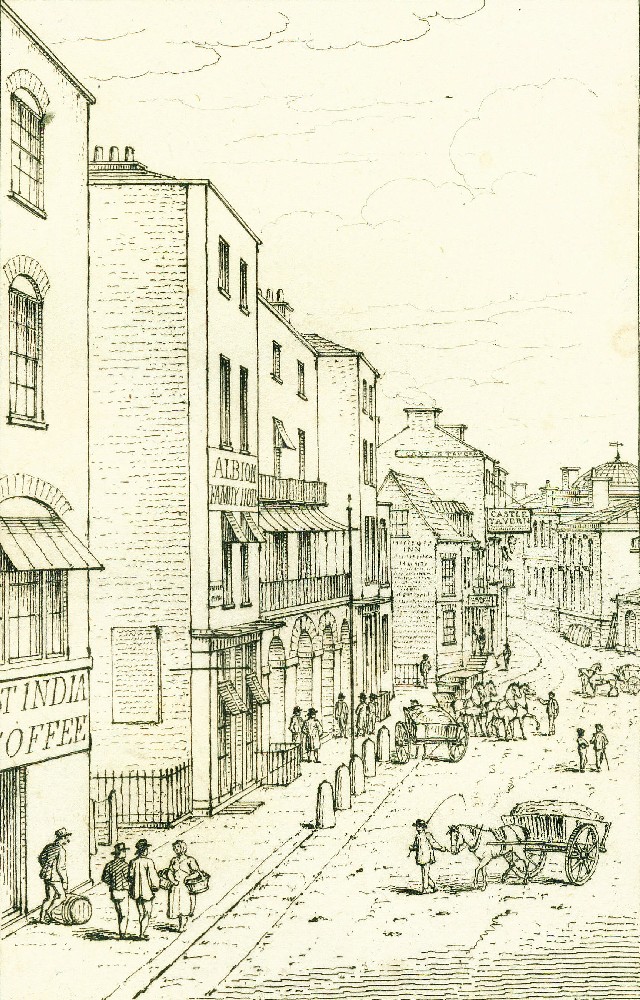
Goldsmid Place in 1817 from Picturesque Views of Ramsgate

I have decided to put the various local history enquires that I get on this blog with my answers, in the hope that some of you may be able to add information.

Fascinating website I discovered today!
Hi,

I would like some information/photos/prints of the National Provincial Bank Ramsgate in the 1850s. The manager at the time was George Lee. Working for his household was Sarah Ann Noakes, a housemaid. a relative of mine I am trying to find out more about. Do any of your books have info about this bank/household/pictures of Goldsmith Place, St Georges, where I believe the bank was. Does it still exist?

I'me purchasing some books from you which I've guessed might contain some pictures/info about the Goldsmith Place area/Nat Provincial Bank. If I'm wrong please let me know and substitute for a book which does have the info.

Sarah Ann Noakes' home was Udimore, near Rye, in East Sussex. How do you think she would have got to Ramsgate? By train or maybe by boat from Rye?

Any thoughts I would appreciate as I am writing a book about the Noakes family from Udimore.

Ken Noakes.


Ken there is no reference to the name Noakes in any of the Victorian Ramsgate directories that I own (1849, 1878 and 1887 all available form me as reprints) the provincial and National bank is described as being near the pier in the 1849 directory which would be Goldsmid Place.

Bagshaws Kent directory circa 1847 has a Mr john Noakes resident in Hardres Street and the National and Provincial bank Goldsmid Place manager Mt Geo. Lee. It is my intention to do a reprint of the Thanet part of this directory in the not to distant future.

Waterside later early 1700s became East End then Goldsmid Place mid 1800s then Harbour Street then Lower Harbour Street late 1800s then Harbour Parade about.

Hope this is of some help Michael.

Saturday, 12 January 2008

pictures of Kent buildings in about 1900


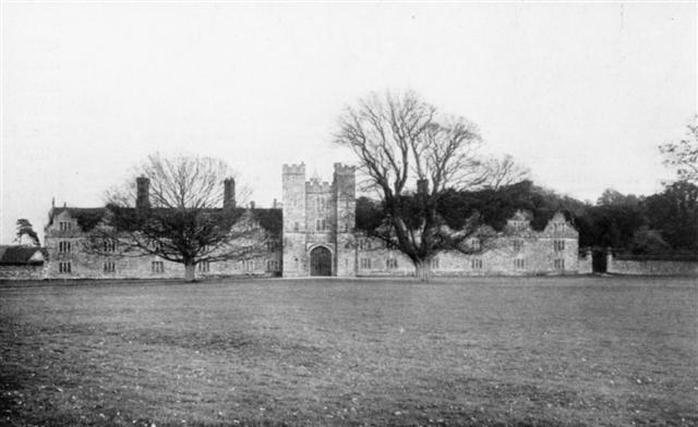
How well do you know the county of Kent and its history I have put up a few pictures of Kent buildings in about 1900 see how many you can identify.


All the pictures have a unique number use the arrows to navigate click here to view them.