
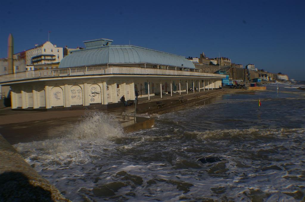
 We often get fairly high tides in Ramsgate as you can see from the picture taken last November click here to see more pictures of this high tide. The real problem comes when a high tide is combined with a storm coming from the east or south, fortunately this doesn’t happen often. The prevailing winds in this part of the world are from the north and east so it’s mostly Margate and the north Thanet coast that gets the worst of the problems.
 We get two types of extra high tide the first type is a spring tide shown in the video, this is caused by the combined gravitational pull of the moon and sun and mostly occurs in spring and autumn. The second type is a tidal surge this is caused by barometric pressure over the sea i.e. it’s weather related and is sometimes combined with a storm.

We also have the effects of sea level rises caused by global warming to consider, if you look at the figures for Dover tide gauge for the last 60 years it appears the sea level has risen about 10 cm or 4 inches during that period. This really isn’t enough to make any difference at the moment and scientists are still fairly uncertain about both how much the sea will rise or how quickly.
I am playing it safe on this one and am doing a lot of recycling, have cut down on all forms of motorised travel (Mostly by doing nearly all of the shopping in Ramsgate which also helps support the local shops.) and have sold my big car.


