
With all the recent talk of allowing the sea defences to fail that stop Thanet from becoming an island again, I thought some historical background would be helpful to some of you.
When the last ice age ended about 10,000 B.C. the glacial melt down caused by the global warming resulted in sea levels to rising by about 100 meters, separating the UK from Europe. By about 3,000 B.C. the level had filled in the ancient waterway known as the Wantsum.
The geological information suggests that in Roman times the Wantsum a considerable waterway about two miles wide and 30 feet deep. Until it silted up it was the main sea route between the Thames and the North Sea, and the English Channel. Going round the North Foreland has always represented a nautical challenge. It is our local mini Cape of Good Hope or going round the Horn.
If you consider the seas rising leaving Thanet an island, because it is higher and the surrounding land is lower, what you have to start with can be thought of as the typical children’s concept of an island, a chalk hill with a flattish top poking out of the water.
The north, east and south coasts being subject to the full force of wave action were eroded away, the result being our chalk cliffs. The west and southwest coast of Thanet faced the UK mainland and were subject to the gentle silting up of the Wantsum channel. This silting up was a very slow process and without large scale land reclamation Thanet would probably still be an island today.
From about 1,000 AD the two great monasteries of Minster and Canterbury owned most of the land around the Wanstsum and from about this time the monks started building dykes and reclaiming land.

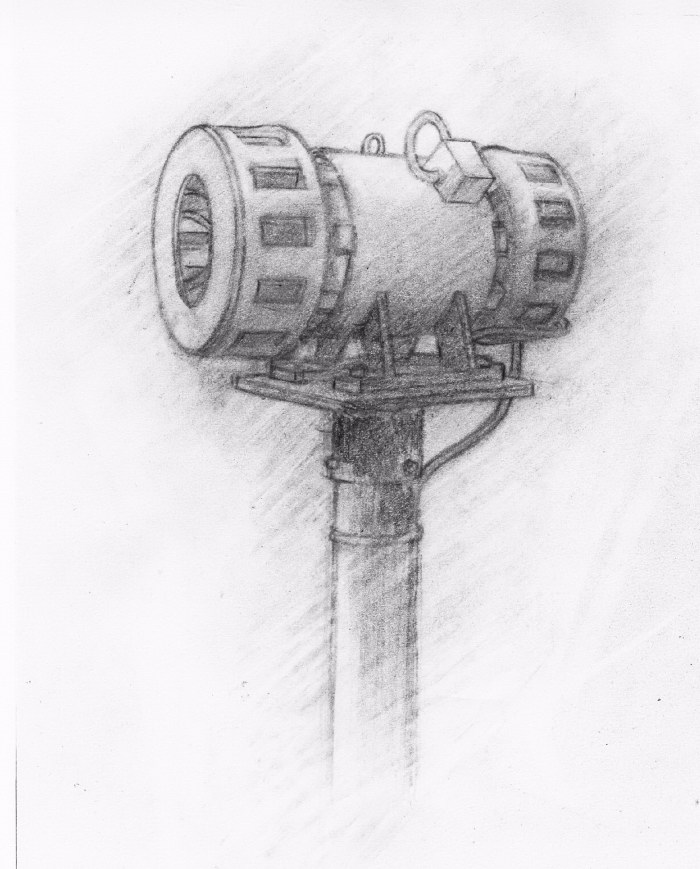 Many thanks to the Gazette this week for publishing a review of Steve and Alan Moore’s book, Moaning Minnie Thanet's Civil Defence Sirens, which I publish.

